
Tsavo East does not crowd you. The plains run flat to the horizon, broken by thorn bush, baobabs and the long dark line of a lava ridge, and a game drive can mean an hour without seeing another vehicle. The animals are spread thin across a huge area, and the reward for patience is a sense of space that busier parks cannot offer.
A park measured in hours
Tsavo East and Tsavo West were created as a single national park in 1948, divided by the Nairobi to Mombasa road and railway, and together they cover around 22,000 square kilometres. Tsavo East, the larger half, is mostly flat, dry bush and open plain, with the basalt ridge of the Yatta Plateau running along its western side. The plateau is often described as one of the longest lava flows on earth.
Much of the area north of the Galana River was long closed to general visitors, and most people still explore the southern section, reached from the Voi side. Even that part is large enough to fill several days.
The landscape is harsh in the dry seasons. Grass dies back, water is scarce and animals gather at the river and the few permanent waterholes. After the rains the bush flushes green, flowers appear and the animals spread out.
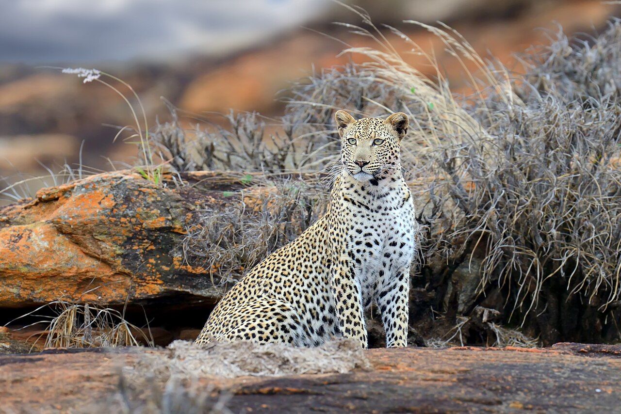
Beyond the elephants, Tsavo East holds animals of the dry country that are scarce in the grassland parks further west. Fringe-eared oryx cross the plains in small herds, gerenuk stand on their hind legs to browse thorn bushes, and lesser kudu slip through thickets. Lions, cheetahs and leopards are present, though thinly spread, and the birdlife runs from ostriches and secretary birds to bright starlings and bee-eaters.
Red elephants
Tsavo's elephants are known for their colour. They are not a different kind of elephant; they dust-bathe and wallow in the iron-rich red soil, and the coating helps protect their skin from sun and insects. Seen against grey bush or a blue sky, a family of rust-red elephants is one of the most distinctive sights in Kenya.
The elephant population here was devastated by drought and poaching in the 1970s and 1980s and has recovered since, though it still faces drought, conflict with farms along the park edges, and the barriers of the highway and railway. Families here can be warier of vehicles than in smaller, busier parks. Give them space, keep the engine off when they cross, and let them choose the distance.
The Galana River and Lugard Falls
The Galana forms where the Athi and Tsavo rivers meet, then runs east across the park toward the Indian Ocean near Malindi. Its banks are lined with doum palms and riverine trees, and it is the reliable water in a dry park: elephants, buffalo, waterbuck and lions all use it, and crocodiles lie on the sandbanks.
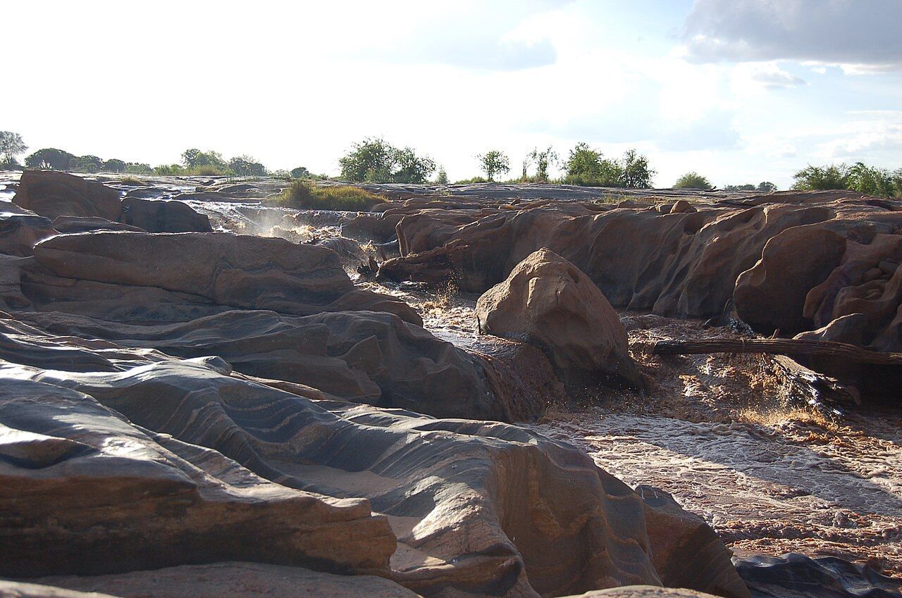
Lugard Falls is less a waterfall than a run of rapids, where the river is forced through narrow channels cut into banded rock. It is named after Frederick Lugard, a British colonial officer who passed this way in the late nineteenth century. Walking is allowed on the rocks at a marked area, but the rock is slippery and crocodiles live in the pools downstream. Keep to the paths and away from the water's edge.
A little downstream, a viewpoint known as Crocodile Point looks along a stretch of river where crocodiles often gather in the shallows.
Mudanda Rock
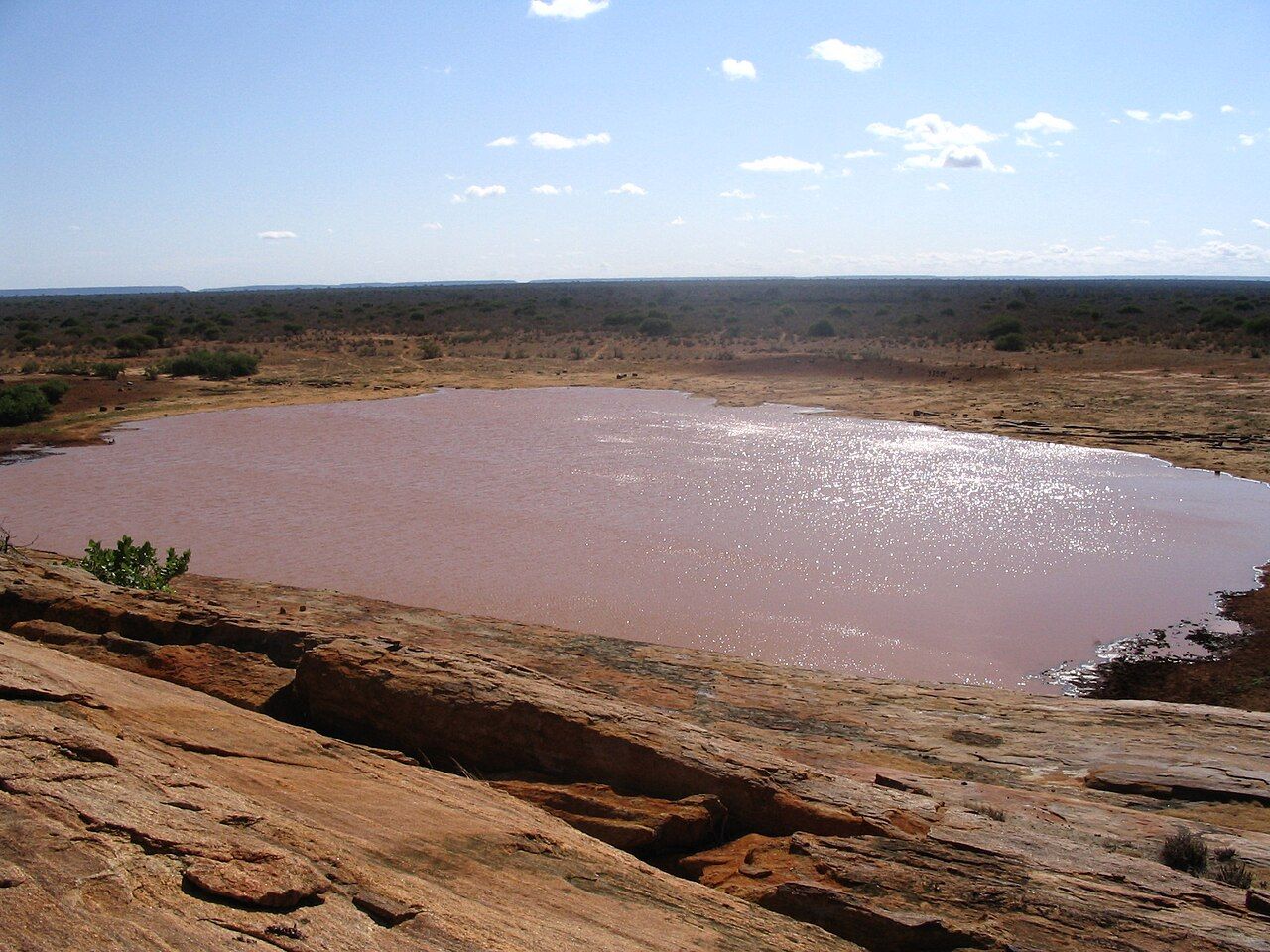
Mudanda Rock is a long whaleback of rock, about a mile and a half long, rising from the plain in the western part of the park. Rain running off it collects in a natural dam at its base, and in the dry season that pool draws elephants and other animals from far around. Visitors can climb a marked section of the rock and watch from above. Sit quietly, keep to the marked area, and never throw anything toward the animals below.
In the dry season, animals tend to come to drink from mid-morning onward. Give yourself time: an hour waiting quietly on the rock is often more rewarding than another hour of driving.
The man-eaters, told plainly
In 1898, during construction of the Uganda Railway bridge over the Tsavo River, two lions killed a number of railway workers over several months. Most of the workers were labourers brought from British India, and local Africans were killed as well. The death toll is disputed: figures of more than a hundred were claimed at the time, while later scientific study of the lions' remains points to a lower number, around thirty-five, which is still a great many. Work on the bridge stopped for a time as workers fled.
The lions were shot by the engineer in charge of the bridge, John Henry Patterson, and their skins and skulls were later sold to the Field Museum in Chicago, where they are still displayed. Both were maneless males, which is common among Tsavo lions. Explanations for why they turned to people include dental injuries in one lion, a shortage of prey after a cattle disease epidemic, and bodies left poorly buried along the caravan routes. The story is often told as an adventure, but it was first a disaster for the workers and their families.
Voi and the murram roads
Voi is the main base for the southern section, about 330 kilometres from Nairobi on the Mombasa road and a stop on the standard gauge railway between Nairobi and Mombasa. The drive takes five to six hours depending on traffic and trucks. Other gates include Manyani, Buchuma and Sala, the last on the eastern side toward Malindi.
Roads inside are mostly murram, red dirt, and can be rough or impassable after rain. Distances between landmarks are long, so carry water and fuel and leave room in the day. Tsavo pairs well with the coast: from Voi it is a few hours to Diani and the Shimba Hills, and Amboseli lies to the west beyond Tsavo West.