
Lake Nakuru lies on the floor of the Rift Valley, a shallow alkaline lake with a town grown into a city on its northern shore. The park around it is small, fenced and easy to reach, and it holds more than its size suggests: a sanctuary for both black and white rhinos, open grassland and acacia woodland, forested cliffs and a lake that has changed dramatically in recent years.
For decades the image of Nakuru was a shoreline turned pink by flamingos. That image is still sometimes true, and sometimes not. Understanding why is a good way into the place.
A soda lake and its flamingos
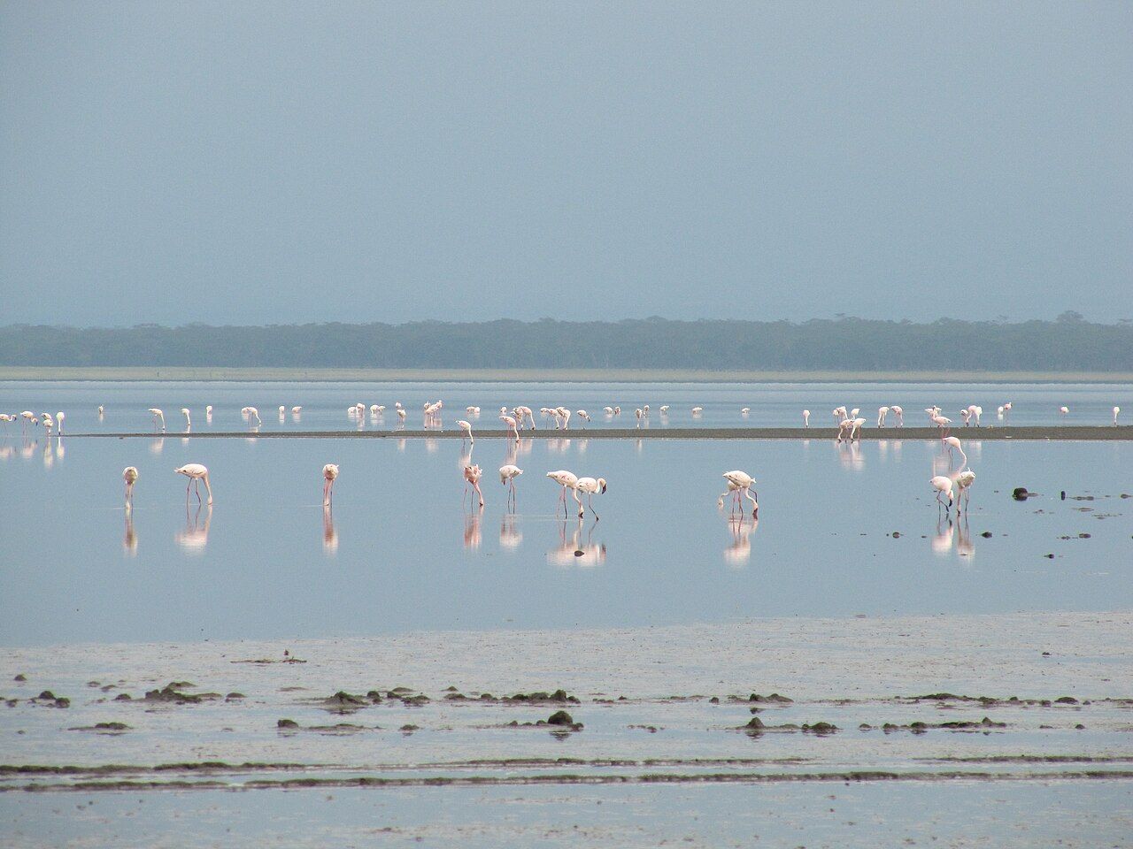
Nakuru is a soda lake. It has no outlet, so water evaporates and leaves salts behind, making it alkaline. In those conditions a microscopic blue-green alga, often called spirulina, can bloom in vast quantities, and lesser flamingos feed on it by sweeping their heads upside down through the water and filtering it with their bills. When the algae thrive, flamingos can gather here in enormous numbers.
If flamingos are present, watch how they move. Lesser flamingos walk in loose groups with their heads down, while greater flamingos, larger and paler, feed on small invertebrates in deeper water. The two species often share the same shore. A sudden lift of a whole flock usually means a predator is near, often a fish eagle overhead or a jackal on the shore.
But they do not stay put. Lesser flamingos move between the soda lakes of the Rift, including Bogoria, Elmenteita and Natron, following food and breeding conditions. Their numbers at Nakuru have swung from vast flocks to only a few birds within a short period. A visit when the flamingos are elsewhere is not a failed visit; the park still has pelicans, cormorants, storks and fish eagles, and the other reasons to come remain.
A visit when the flamingos are elsewhere is not a failed visit
Nakuru, Bogoria and Elmenteita together make up a UNESCO World Heritage Site, the Kenya Lake System in the Great Rift Valley, recognised largely for their importance to birds.
Rising water
From around 2010 the lake began to rise, and over the following decade it spread well beyond its old shoreline. Several Rift Valley lakes rose at the same time. Heavy rains and changes in the catchment are widely cited as causes, alongside geological and land-use factors that are still being studied.
The effects at Nakuru are plain to see. Water flooded former park buildings, roads and woodland near the shore, leaving dead trees standing in the shallows. As fresh water diluted the lake, its chemistry shifted, and conditions for the algae, and so for the flamingos, changed with it. Some birds moved to other lakes. Levels may change again; nobody can promise where the shore will be in a given year.
The rise also changed how you move through the park. Some old tracks and the former main gate area were affected, so ask about current routes when you enter.
The rhino sanctuary
In the 1980s, with black rhinos being poached across Kenya, the park was fenced and turned into a rhino sanctuary. It became one of the country's most important breeding sites for both black and white rhinos, and animals bred here have been moved to start or strengthen populations elsewhere.
Neither species is black or white in colour; both are grey. White rhinos are larger, often live in small groups and graze with broad, square lips, so they are usually seen out on open grassland. Black rhinos are browsers with a hooked upper lip, more solitary and more nervous, and usually keep to thicker bush. At Nakuru white rhinos are often visible on the grasslands near the lake, while black rhinos take more patience.
Rangers patrol the sanctuary day and night, and the rhinos are monitored closely. If you see one, enjoy it quietly from the vehicle, and avoid posting exact locations online in real time.
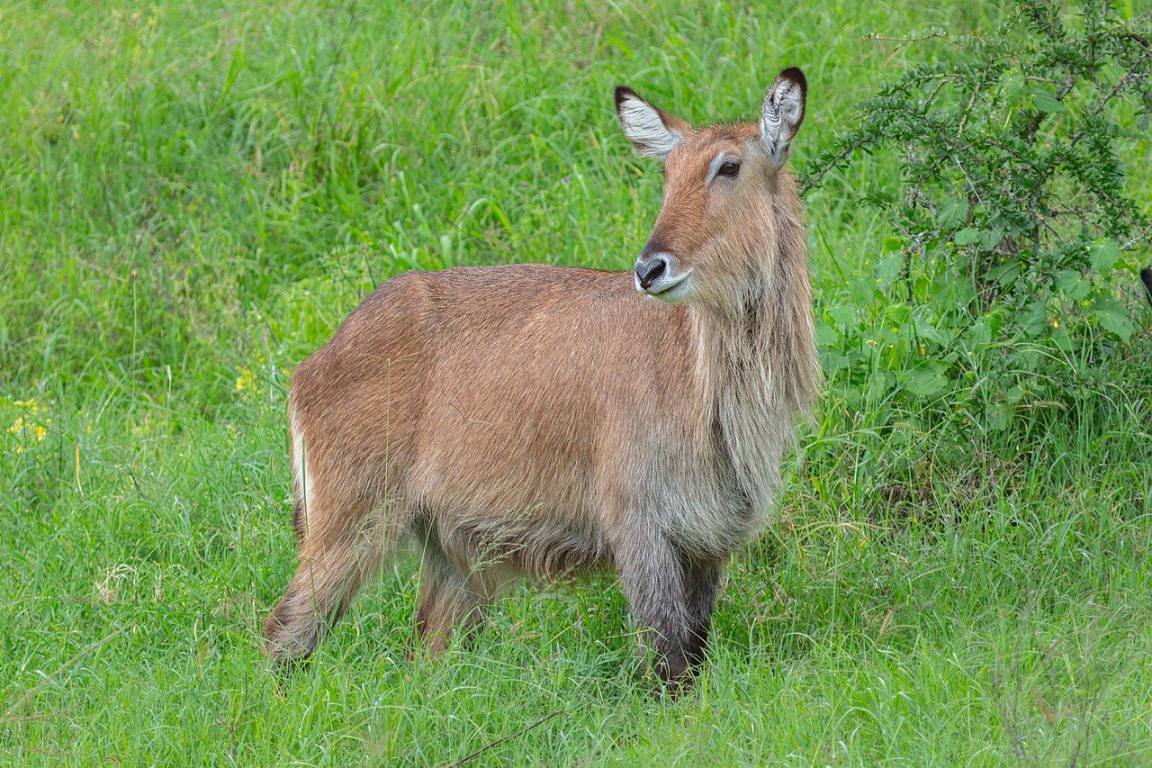
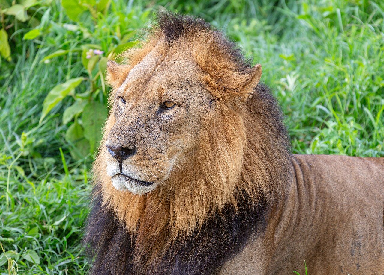
Rothschild's giraffes, one of the rarer forms of giraffe, were also brought to the park and are often seen among the acacias. Lions, leopards, buffalo, waterbuck and warthogs are present too. Elephants are not.
Baboon Cliff and the viewpoints
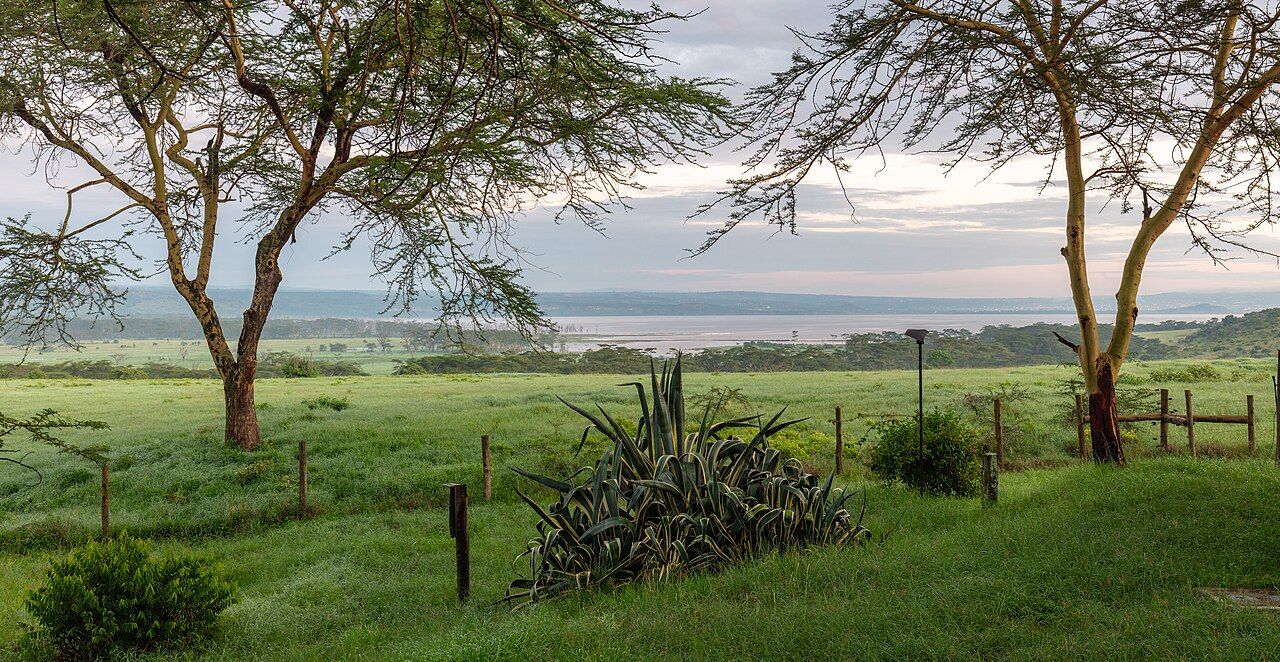
The best way to understand the park is from above. Baboon Cliff, on the western side, looks out over the lake, the flooded shoreline and the woodland, with the city beyond the far shore. Visitors may step out at designated viewpoints such as this one, but olive baboons gather there too, and they are bold. Keep food out of sight and doors closed, and never feed them.
Other lookout points on the eastern side give views back across the lake toward the cliffs. In the south, Makalia Falls is a seasonal waterfall that runs best after rain. The woodland of yellow-barked acacias, often called fever trees, rewards slow driving: lions occasionally rest in the branches, and leopards are seen from time to time. The euphorbia forest on the eastern slopes, with its tall candelabra trees, is one of the larger stands of its kind in East Africa.
The city next door
Nakuru is one of Kenya's fastest-growing cities, and its streets, farms and workshops run right up to the park fence on the northern side. That closeness brings problems. Rivers flowing into the lake carry runoff from farms and the town, and the quality of that water affects the algae, the birds and the fish. Waste and sewage management in the growing city has long been a concern for the park.
The fence itself is both a protection and a limit. It keeps rhinos safer from poachers and keeps animals out of farms, but it also means the park's grazers and predators have nowhere to spread. Numbers have to be managed, and rhinos have been moved out as the sanctuary filled. Few visitors notice these decisions, but they shape what you see from the vehicle.
For visitors, the city is also a convenience. Fuel and supplies are minutes from the gate, and the short drive makes an early start easy.
On the highway north-west
Nakuru is around 160 kilometres north-west of Nairobi along a busy, mostly good highway, roughly three hours depending on traffic. Many people visit on the way between Nairobi and the Masai Mara, or combine it with Lake Naivasha or the lakes further north at Baringo and Bogoria. The park is compact enough to cover well in a full day, though staying nearby allows a dawn drive.
At around 1,750 metres, mornings can be cool. Rain falls most heavily in the long rains, roughly March to May, and some tracks become muddy.
When you leave, it is worth remembering how much of the park's story is recent: a lake that rose, flocks that moved and a rhino population built by careful protection. It is a place that keeps changing, and worth seeing as it is now.